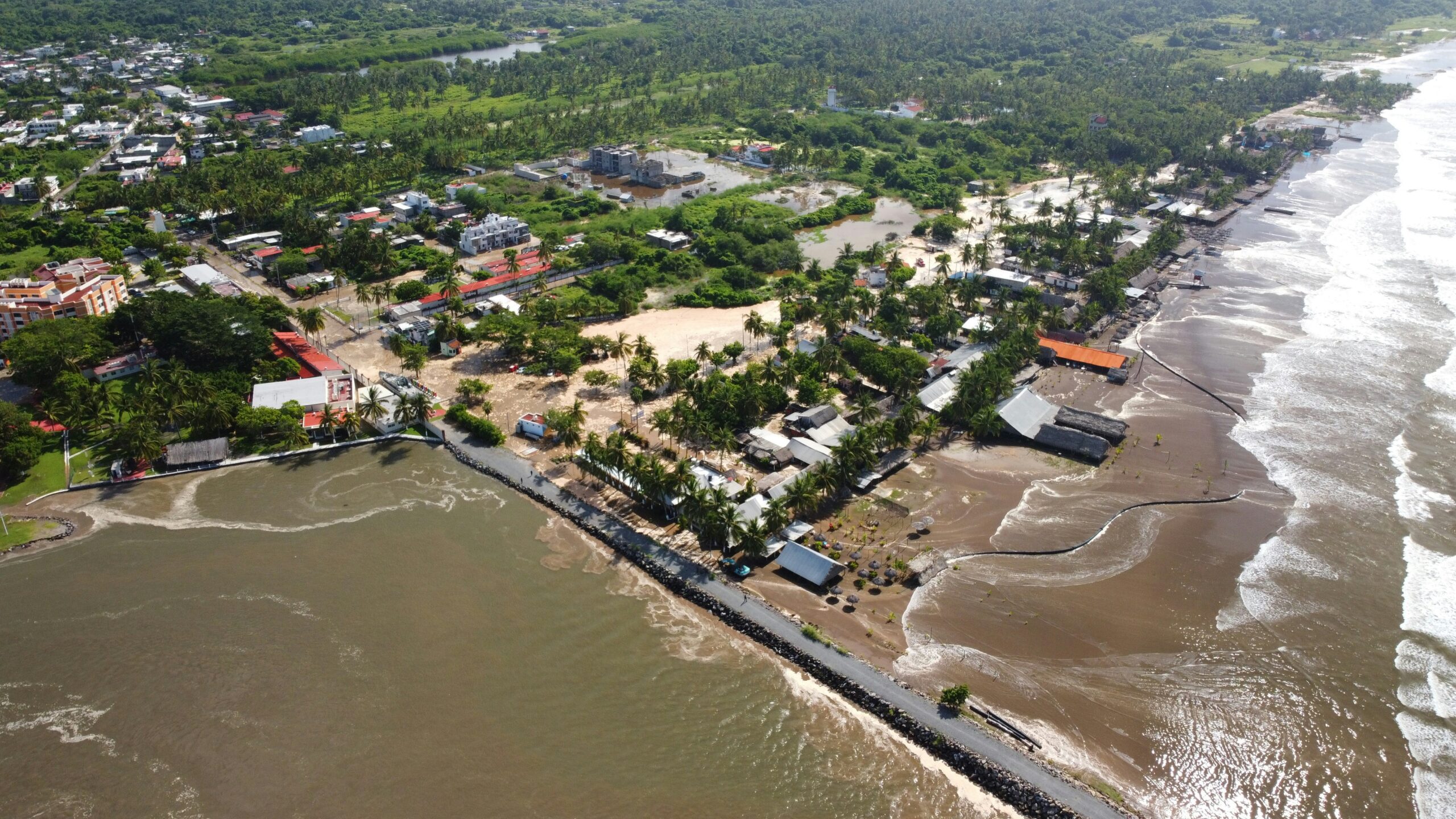
Two powerful storms, Bruna and Charles, are unleashing torrential rain and gale-force winds across Spain, prompting extreme danger warnings for residents and tourists.
Storm Bruna and Charles batter Spain
Two significant storm systems, Bruna and Charles, are currently converging over Spain, bringing exceptionally severe weather conditions. A rare red weather alert has been issued for northern Caceres and southern Avila, areas situated near Madrid, signalling extreme danger due to anticipated heavy rainfall.
The national weather agency, Aemet, has explicitly warned residents and tourists of potential widespread flooding and a substantial rise in local water levels. This critical alert became active on Tuesday, 10 November, with forecasts indicating both torrential downpours and powerful gale-force winds across numerous Spanish regions.
Rainfall and wind warnings across Spain
Meteorologists have issued several warnings detailing the expected intensity of the storms. These figures highlight the scale of the weather event impacting both mainland Spain and its islands.
- Up to 120mm of rain expected in 12 hours for northern Caceres and southern Avila.
- Mountainous regions could see 300mm of rain over several days.
- Gusts of 60mph are forecast for the Cantabrian mountains.
- The Canary Islands are under an orange alert with winds potentially reaching 80mph.
- Marbella, Estepona, and Malaga may receive 60mm of rain in half a day.
- Andalucia could experience 100mm to 200mm of rainwater.
- Madeira recorded 125 weather incidents over the weekend, with gusts topping 80mph.
- Waves over 13ft are anticipated on Spain’s west coast near the Strait of Gibraltar.
Recent storm fatalities in Spain
The current onslaught of severe weather follows closely on the heels of a deadly storm that swept through parts of Spain just three weeks ago, in October. That earlier event, officially named Storm Adam, tragically claimed the lives of seven individuals across the affected regions.
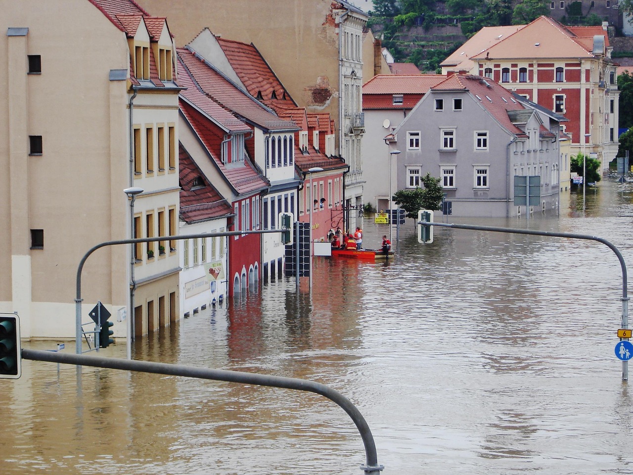
During Storm Adam, thousands of residents were compelled to abandon their homes and seek safety in emergency shelters established by local authorities. Entire neighbourhoods found themselves submerged under horrifying deluges, transforming familiar roads into impassable rivers and necessitating extensive and challenging rescue operations.
Travel disruption and landslide risk
The immediate and most tangible consequence of these converging storms is widespread disruption to travel networks and a significantly heightened risk to public safety. Already, at least seven flights have been diverted at La Palma airport, directly stranding numerous holidaymakers and causing considerable inconvenience for travellers.
Beyond air travel, the sheer volume of torrential downpours dramatically increases the danger of destructive landslides, particularly in mountainous areas. These regions, often ravaged by previous summer wildfires, possess compromised ground stability, making them exceptionally vulnerable to the intense rainfall now being experienced.
Assessing the full impact
The most pressing question is the full extent of the damage and disruption these combined storms will cause. Authorities will need to determine how quickly affected areas can recover and what resources will be required.
- How many people will require evacuation or emergency assistance?
- What will be the long-term impact on infrastructure in flood-hit regions?
- What measures will be implemented to mitigate future risks in vulnerable areas?
Spain faces a new normal of extreme weather
The rapid succession of severe weather events, including the ongoing Storm Bruna and the fatal Storm Adam just weeks prior, strongly indicates that Spain is increasingly contending with more frequent and intense meteorological phenomena. This emerging pattern necessitates a fundamental re-evaluation of the nation’s preparedness strategies and the resilience of its critical infrastructure.
While individual storms are indeed natural occurrences, their escalating intensity and close temporal proximity point to an urgent need for more robust early warning systems and comprehensive, long-term urban planning. A continued reliance solely on reactive, immediate emergency responses will prove increasingly inadequate if this worrying trend persists across the Iberian Peninsula.
Weather warnings through Wednesday
The severe weather is expected to persist for at least another day. Residents and tourists in affected areas should continue to monitor official weather advisories closely.
- Andalucia is expected to experience powerful downpours until at least Wednesday, 11 November.
- The red alert for northern Caceres and southern Avila remains in effect on Tuesday, 10 November.
- Authorities will likely provide updates on travel conditions and safety measures as the storms progress.
Holidaymakers face travel chaos
British holidaymakers who are either planning or currently enjoying trips to Spain, Portugal, or the Canary Islands should anticipate significant travel disruption in the coming days. Reports already confirm flight diversions, and further cancellations or substantial delays remain a strong possibility across various transport hubs.
It is critically important for anyone travelling to these popular regions to proactively check with their respective airlines and accommodation providers for the latest updates. Furthermore, closely monitoring local weather warnings and strictly adhering to advice issued by Spanish and Portuguese authorities is essential for personal safety.